 LYCIAN STONES
Kalkan and Kaş are two small harbour towns on the western Lycian coast, a short drive apart on the coast road. Between them the land rises steeply from the sea into limestone hills, old terraces and upland villages, and the Lycian Way threads through this country on its way east. You do not need to walk the whole stretch in one go to understand it. A few short day walks, and an unhurried morning among the stones of Kaş, show you most of what makes this part of the coast worth the effort.
The archaeology here is quieter than at the great cities. There is no colonnaded avenue or packed theatre of the kind you find in Pamphylia. Instead you meet single monuments set into everyday places: a sarcophagus at a street corner, a theatre among olive trees, a line of stone blocks crossing a valley. That is the pleasure of this coast. The ancient and the ordinary sit side by side.
The trail between the two towns
The Lycian Way is a waymarked long-distance trail of about 500 km and more, running from the Fethiye area towards Antalya, and the general shape of the route is set out in the guide to walking the Lycian Way. Around Kalkan and Kaş the trail does not simply follow the shoreline. Much of it climbs inland, onto the higher ground behind the coast, where the paths pass through villages, farmland and scrub before dropping down again towards Kaş.
The marks are the same red and white painted stripes used along the whole route, on rocks, walls and trees. They are mostly clear, but where tracks have been widened or new houses built, they can vanish for a stretch. Carry a printed or offline map of the route, check it at every junction, and if you have gone a few minutes without seeing a mark, go back to the last one rather than pressing on.
Waymarks and junctions also change. Sections are rerouted when roads are built or land changes hands, so an old description of the route may no longer match what you find. Ask locally before you set out, and treat any timing you have read as a rough guide.
Stones near Kalkan
West of Kalkan, on the trail towards Patara, the Way passes one of the more unusual Roman works on this coast: a pipeline of large cut stone blocks, each bored through the middle, laid across a valley to carry water to Patara. Known locally as Delikkemer, it worked as an inverted siphon, taking water down one side of the valley and pushing it up the other under pressure. Many of the blocks still lie in line across the slope. It is a good example of how much engineering effort went into supplying the harbour city whose meeting hall you can visit at Patara.
Behind Kalkan, the land climbs towards a high plain with villages, orchards and fields. Here the stones you notice are mostly the work of farmers: terrace walls holding thin soil on steep slopes, threshing floors, cisterns, field huts. Their age is often impossible to tell by eye. Some terraces are recent; others may follow lines laid out long before. Walking among them is a reminder that the countryside around these coastal towns has been farmed and grazed for a very long time.
Short day walks
For most visitors, short walks of a few hours suit this stretch better than a full stage. A few general patterns work well:
- From Kalkan towards the aqueduct: a walk on the trail west of the town to see the stone pipeline, then back the same way.
- Up onto the high ground: a climb from the coast towards the upland villages, returning by road or local transport if it is running.
- Around Kaş: the low headland west of the town, past the theatre, and the paths up towards the rock tombs above the houses.
Whatever you choose, plan a route you can cut short. Paths between the coast and the uplands are steep, rough underfoot and slow, and a walk that looks short on a map can take far longer than expected. Tell someone where you are going and when you expect to be back.
Antiphellos at Kaş
Kaş stands on the site of ancient Antiphellos, which began as the harbour of Phellos, a Lycian town on the hills above. In time the harbour grew into a town in its own right, and its stones are still scattered through the modern streets.
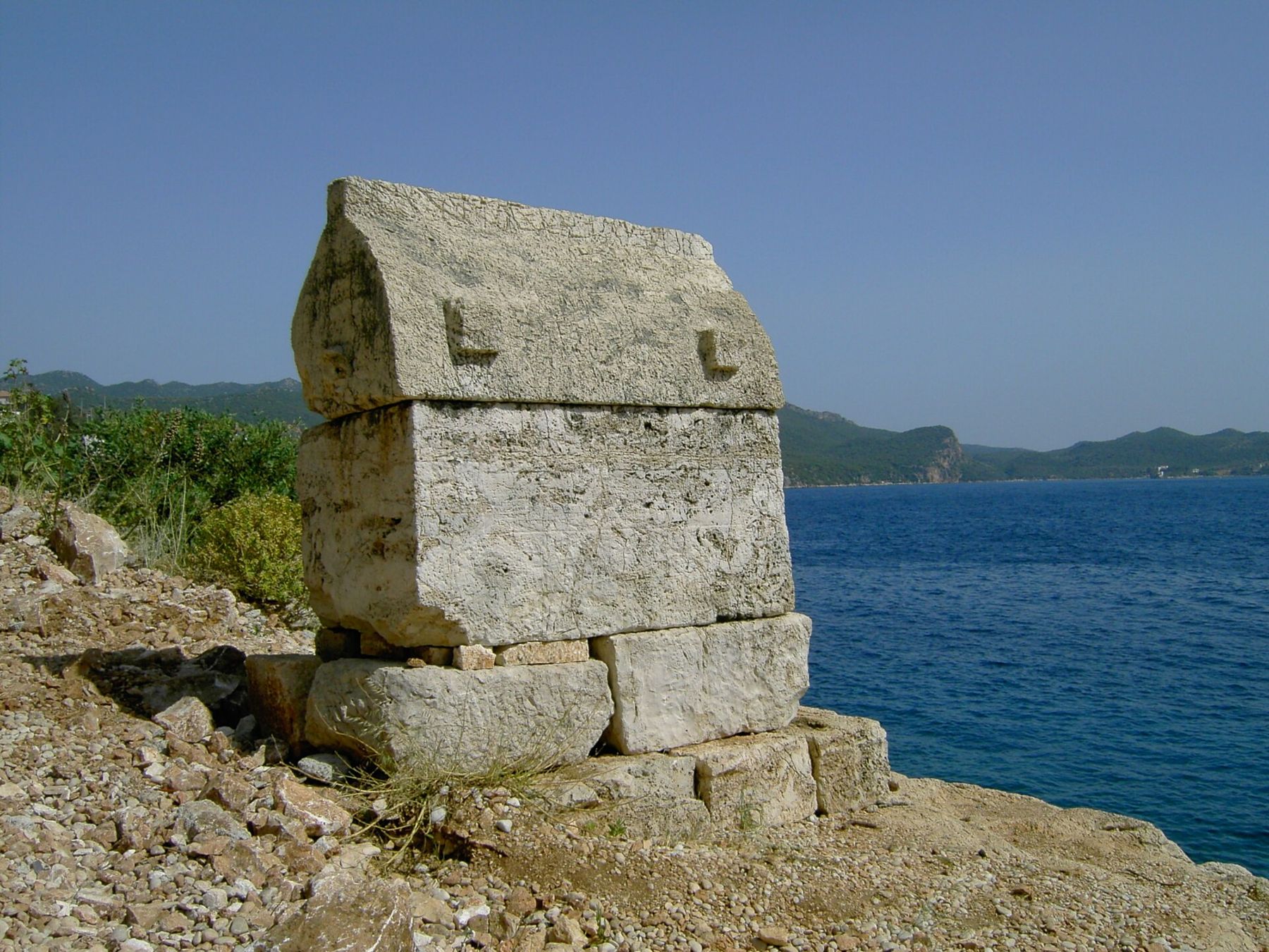
The most striking is the tall sarcophagus near the centre, often called the Lion Tomb or King's Tomb. It stands on a high base, free of any building around it, with a heavy lid carved with lion heads. It is usually dated to the 4th century BC, and an inscription in the Lycian script survives on it, though it is not fully understood. It belongs to the same family of monuments described in how to read a Lycian tomb, and it is the easiest place on this coast to see one at close quarters without any climb.
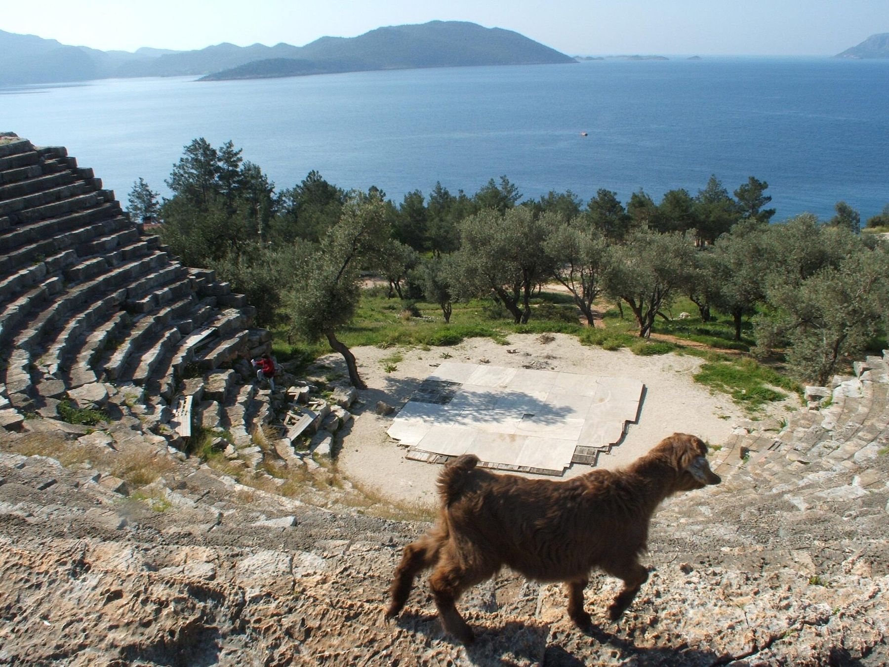
West of the town, on the slope above the sea, is the theatre. It is a Hellenistic building, small and well preserved, its rows of seats cut into the hillside and facing out over the water towards the islands offshore. Olive trees grow around the stage area, and the upper rows give a wide view along the coast. Not far beyond it, on the headland, a rock-cut tomb in the form of a small temple stands free of the hillside around it.
Above the town, in the cliffs, are rock-cut tombs with house-like facades, copying the timber beams of Lycian houses in stone. They are visible from the streets below, and paths climb towards them for those who want a closer look. The climb is short but steep and exposed, and it is better made early in the day.
Heat, water and timing
Heat is the first rule on this coast. Summer midday on bare limestone is dangerous: the rock reflects heat back at you, shade is scarce on the climbs, and the sea breeze dies away once you are inland. Spring and autumn are the walking seasons. In summer, walk only in the first hours after dawn and stop well before noon.
Carry all the water you need for the day, at least two or three litres per person and more in warm months. Village fountains and cisterns exist, but you cannot rely on them, and cistern water should not be drunk untreated. Wear a hat, cover your shoulders, and use proper walking shoes: the paths are stony, and loose scree on the descents is the most common cause of falls.
Entry arrangements at the theatre and other monuments can change, so check before you go. The Lion Tomb and the town's other street monuments are in public places and can be seen at any hour, which makes an evening walk through the town a sensible end to a hot day.
Beyond Kaş
East of Kaş the coast breaks up into islands and inlets, and the trail continues towards Üçağız and the ruins at the water's edge described in the sunken stones of Kekova. That is a different kind of landscape again, where the sea covers part of the ancient town. Kaş makes a natural place to pause between the two: a harbour town with a theatre, a tomb in the street and a working port, where you can rest a day before deciding how far east to go.